Maps
The map layers the Communauté urbaine publishes on ArcGIS Online, synced into this catalogue, and its map apps. On data.dunkerque-agglo.fr, the “Cartes et Visualisations” page shows 4 maps from 2018–2019, 3 of whose layers can no longer be found.
10 live layers
Each layer reads the CUD’s ArcGIS service, so its data is today’s. Open its page for the map, the table, downloads and the API.
Bureaux de vote AOB
47 features · Data changed on 9 Nov 2026 · synced on 9 Nov 2026
Dechets
1,636 features · Data changed on 20 May 2026 · synced on 9 Nov 2026
VELO
12 features · Data changed on 5 Mar 2026 · synced on 9 Nov 2026
Limite CUD com
1 feature · Data changed on 13 Feb 2026 · synced on 9 Nov 2026
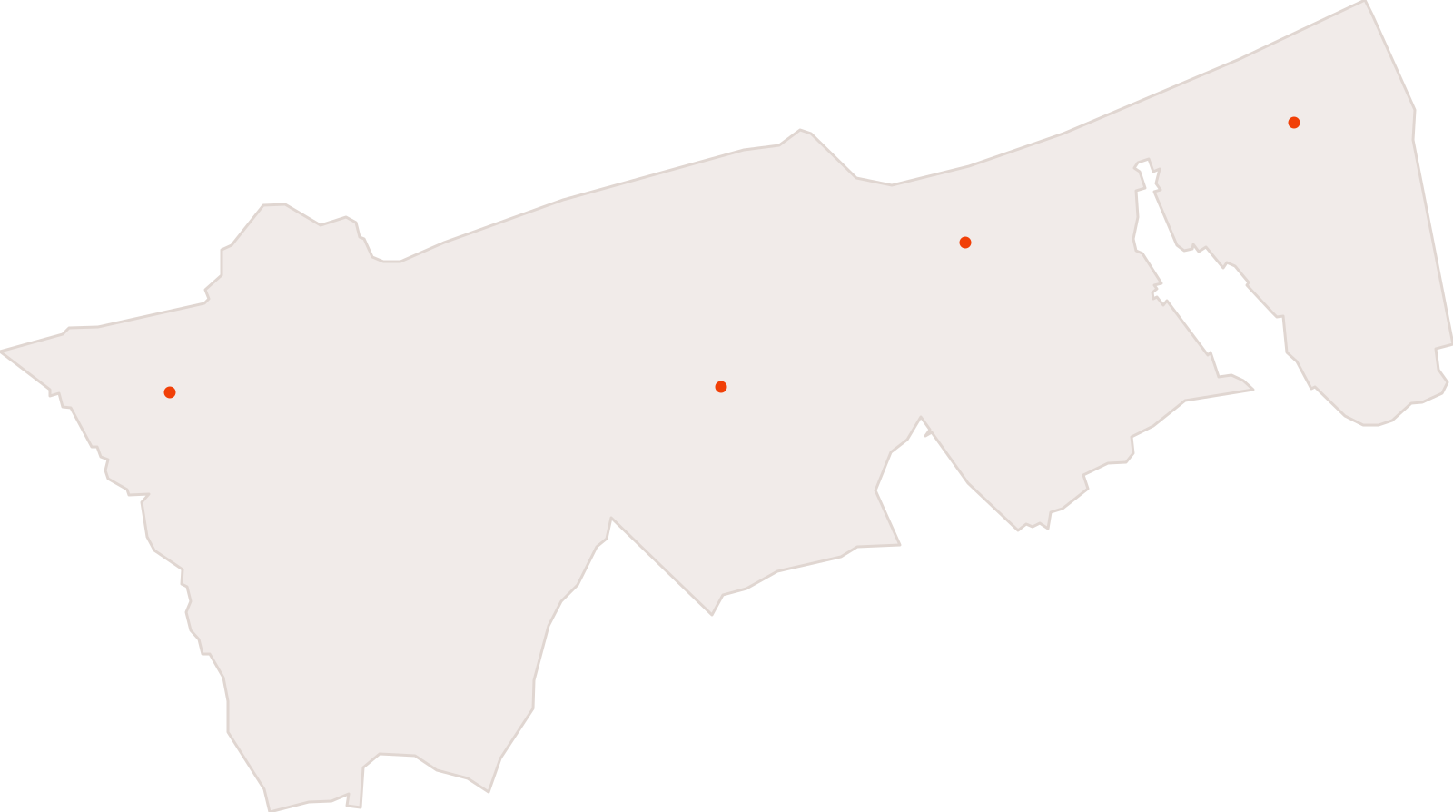
Dechetteries
4 features · Data changed on 2 Feb 2026 · synced on 9 Nov 2026
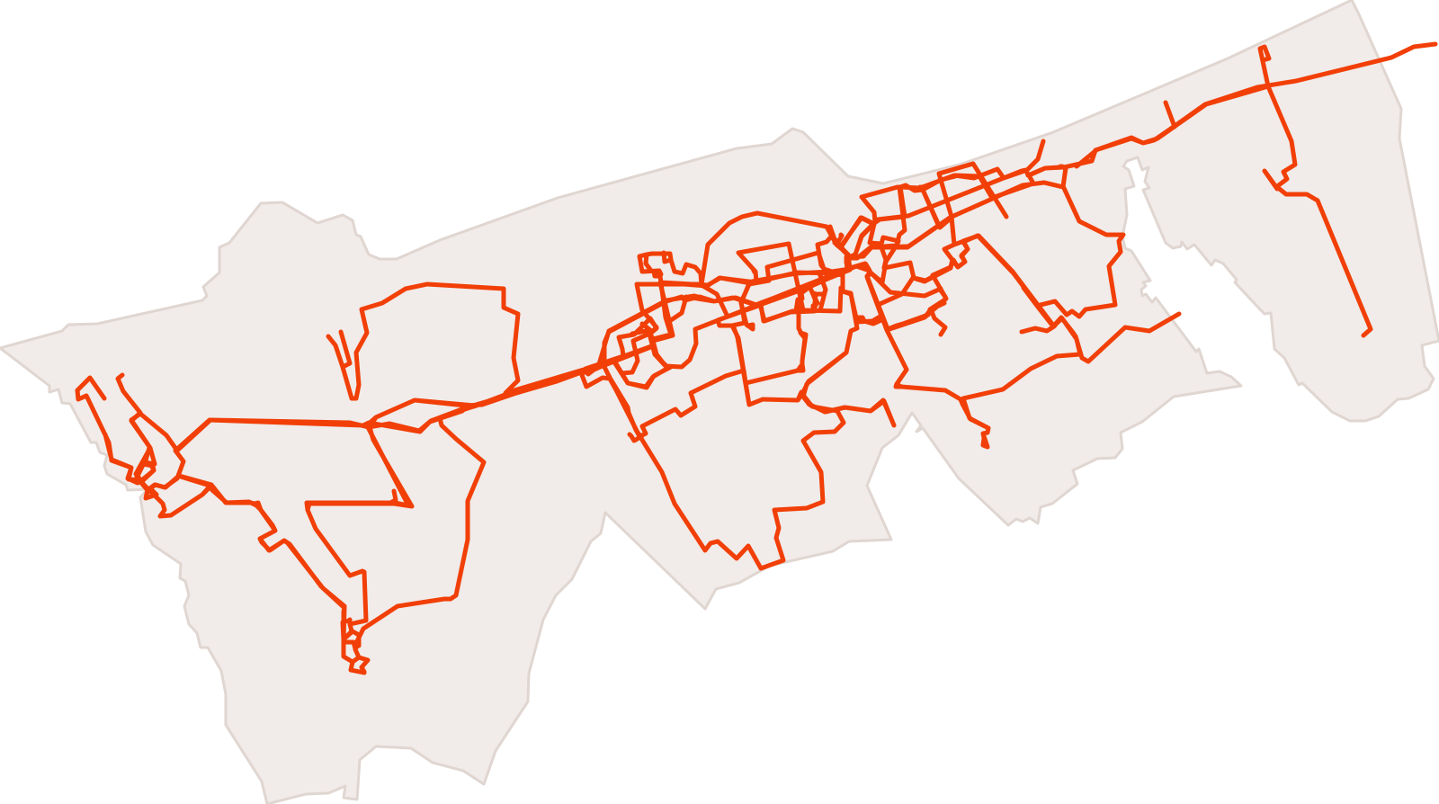
Lignes de bus
21 features · Data changed on 2 Feb 2026 · synced on 9 Nov 2026
Limite CUD
1 feature · Data changed on 2 Feb 2026 · synced on 9 Nov 2026
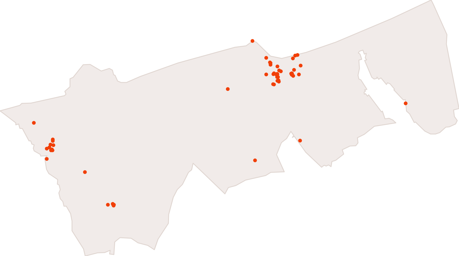
Monuments historiques
61 features · Data changed on 9 Dec 2025 · synced on 9 Nov 2026
Bruit_4echeance
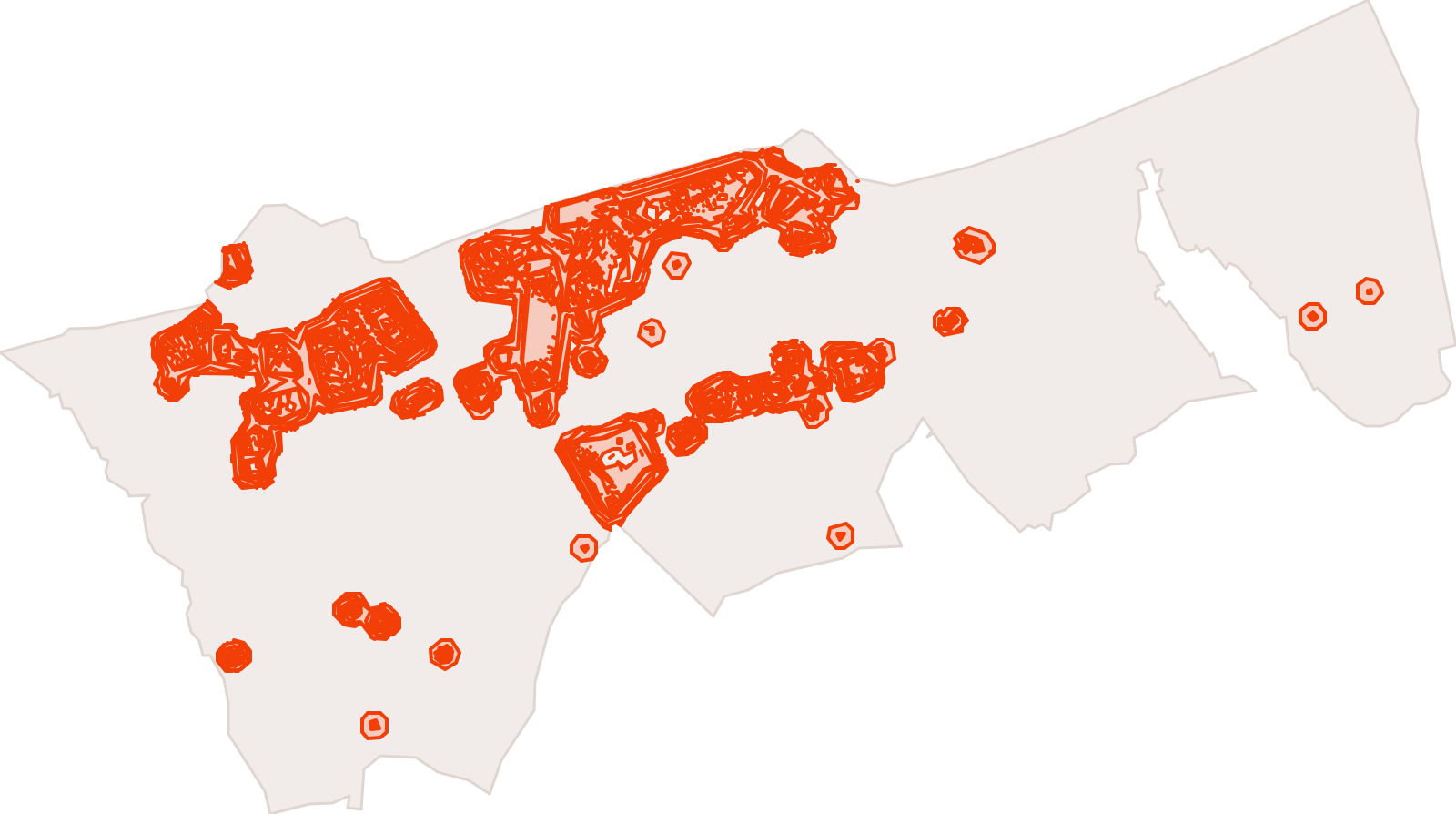
1,066 features · Data changed on 12 Dec 2024 · synced on 9 Nov 2026
Offices de tourisme
Data changed on 17 Dec 2024 · synced on 9 Nov 2026
34 map apps and stories
Experience Builder apps, StoryMaps and dashboards the CUD publishes on ArcGIS Online. They stay on ArcGIS: this page makes them findable.
 Web Experience
Voiles de Légende (new tab)
Application grand public Voiles de Légende
modified on 10 Jul 2025 · 20,953 views
 Web Mapping Application
Rétromatique (new tab)
modified on 22 May 2025 · 10,166 views
 Web Experience
Le PLUiHD de la CUD (new tab)
Application cartographique du PLUiHD de la CUD - Consultation de l'ensemble des cartes
modified on 24 Sept 2026 · 9,200 views
 Web Experience
Cartes du bruit (new tab)
Cartes du bruit - Application grand public
modified on 30 Mar 2026 · 1,978 views
- Web Experience
MAPaix (new tab)
modified on 5 Mar 2026 · 1,051 views
- Web Experience
Carte grand public Communes (new tab)
modified on 23 Mar 2026 · 868 views
 Web Experience
Fête du végétal (new tab)
Application grand public Fête du végétal
modified on 17 Apr 2026 · 830 views
- Web Experience
Carte grand public CUD (new tab)
modified on 23 Mar 2026 · 810 views
 Web Experience
Parcours urbain (new tab)
Application grand public permettant la localisation et la visualisation des fresques urbaines
modified on 5 Dec 2025 · 710 views
- Web Experience
Vélo (new tab)
Application grand public vélo
modified on 25 Mar 2026 · 644 views
 Web Experience
Rétromatique (new tab)
Application Rétromatique grand public
modified on 3 Oct 2025 · 621 views
 Web Experience
Voiles de Légende - Anglais (new tab)
Application grand public Voiles de Légende - Version anglaise
modified on 9 Jul 2025 · 608 views
 StoryMap
Géoportail (new tab)
Toutes vos données partagées et accessibles facilement sur un seul portail.
modified on 16 Nov 2020 · 341 views
 Web Experience
La CUD au fil du temps (new tab)
Application grand public sur orthos et cartes historiques
modified on 17 Mar 2026 · 338 views
 Web Experience
ETE_A_MALO (new tab)
modified on 4 Jul 2023 · 334 views
- Web Experience
Espaces naturels (new tab)
Application grand public espaces naturels (Dunkerque Grandeur Nature)
modified on 9 Apr 2026 · 333 views
 Web Experience
Tall Ship Race (new tab)
Application grand public Tall Ship Race
modified on 10 Mar 2025 · 313 views
 Web Experience
Patrimoine architectural (new tab)
Application publique sur la localisation du patrimoine architectural remarquable
modified on 3 Dec 2025 · 311 views
 Web Experience
Accessibilité du territoire (new tab)
modified on 24 Dec 2024 · 294 views
 Web Experience
Appli mobile Aide aux démarches (new tab)
Application orientée smartphone pour l'aide aux démarches
modified on 3 Oct 2025 · 217 views
 Web Experience
Rétromatique Grands Voiliers (new tab)
Application Rétromatique grand public pour les Grands Voiliers
modified on 3 Oct 2025 · 192 views
- Web Experience
Déchets (new tab)
modified on 28 Sept 2026 · 186 views
- Web Experience
Arboretum du Bois des Forts (new tab)
Arboretum du Bois des Forts
modified on 31 Oct 2025 · 183 views
- Web Experience
Bureaux de vote (new tab)
Application grand public pour la consultation de son bureau de vote
modified on 9 Nov 2026 · 142 views
 Web Experience
Tombes remarquables (new tab)
Application grand public localisant les tombes remarquables
modified on 3 Oct 2025 · 138 views
 Web Mapping Application
Bureaux de vote AOB (new tab)
modified on 9 Nov 2026 · 137 views
 Web Experience
Mobilité Voiles de Légende (new tab)
Données d'accessibilité (mobilité) au site VDL
modified on 23 Jun 2025 · 96 views
 Web Experience
Gestion des Prestations (new tab)
modified on 11 Oct 2023 · 89 views
- Web Experience
Zonage pluvial (new tab)
Application grand public pour le zonage pluvial
modified on 21 Jul 2026 · 66 views
 Web Experience
Alimentation (new tab)
Application grand public Alimentation
modified on 4 Nov 2026 · 53 views
 StoryMap
Fresques de Petite-Synthe (new tab)
Découvrez les fresques...
modified on 9 Nov 2026 · 45 views
- Web Experience
Signalétique ZAE (new tab)
Application publique de localisation des ZAE
modified on 25 Sept 2025 · 38 views
 Web Experience
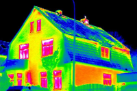
Thermographie aérienne (new tab)
Application cartographique sur la thermographie aérienne CUD - Consultation de l'ensemble des cartes
modified on 22 Dec 2025 · 24 views
 Web Mapping Application
ETE A MALO (new tab)
modified on 30 Jun 2023 · 12 views
List made on 9 Nov 2026 from the CUD’s ArcGIS Online organisation.
24 other layers in the catalogue
Layers migrated from data.dunkerque-agglo.fr or synced from national sources (zoning plan, addresses, charging points…).
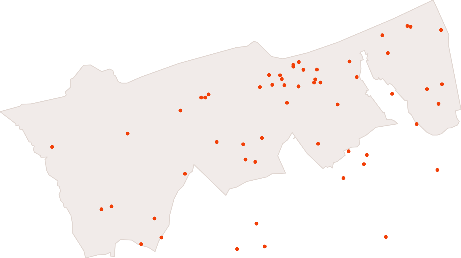
Producteurs alimentaires locaux
64 features · Data changed on 9 Nov 2026 · synced on 9 Nov 2026
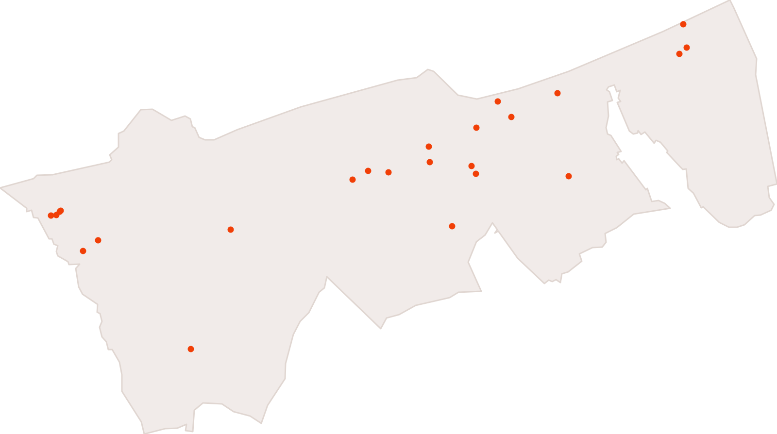
Open-air markets in the Communauté urbaine de Dunkerque
25 features · Data changed on 8 Nov 2026 · synced on 9 Nov 2026
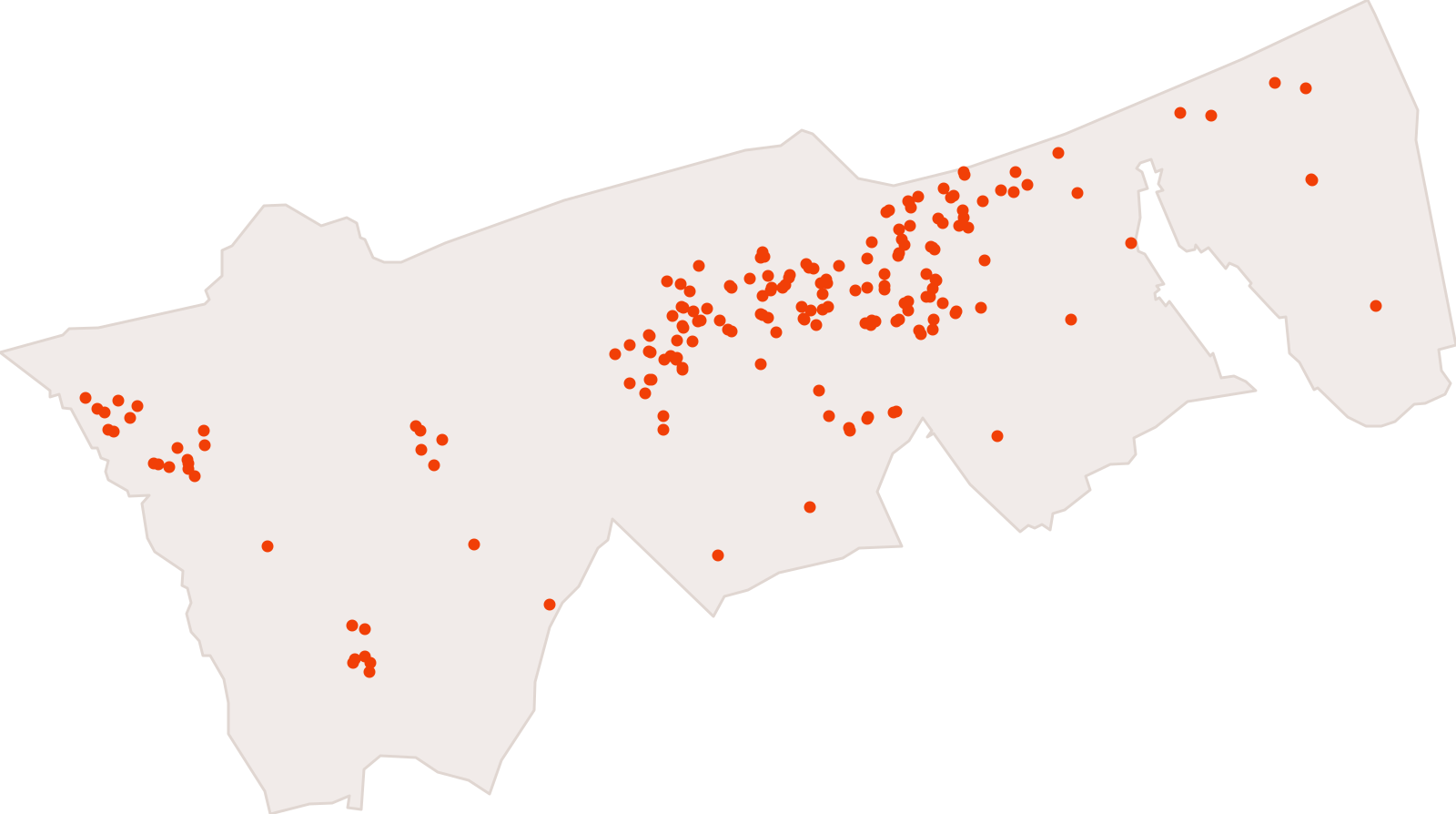
Établissements scolaires du premier et du second degré de la Communauté urbaine de Dunkerque
190 features · Data changed on 2 Nov 2026 · synced on 9 Nov 2026
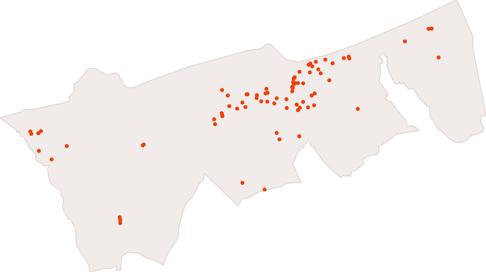
Pharmacies in the Communauté urbaine de Dunkerque
80 features · Data changed on 30 Sept 2026 · synced on 9 Nov 2026
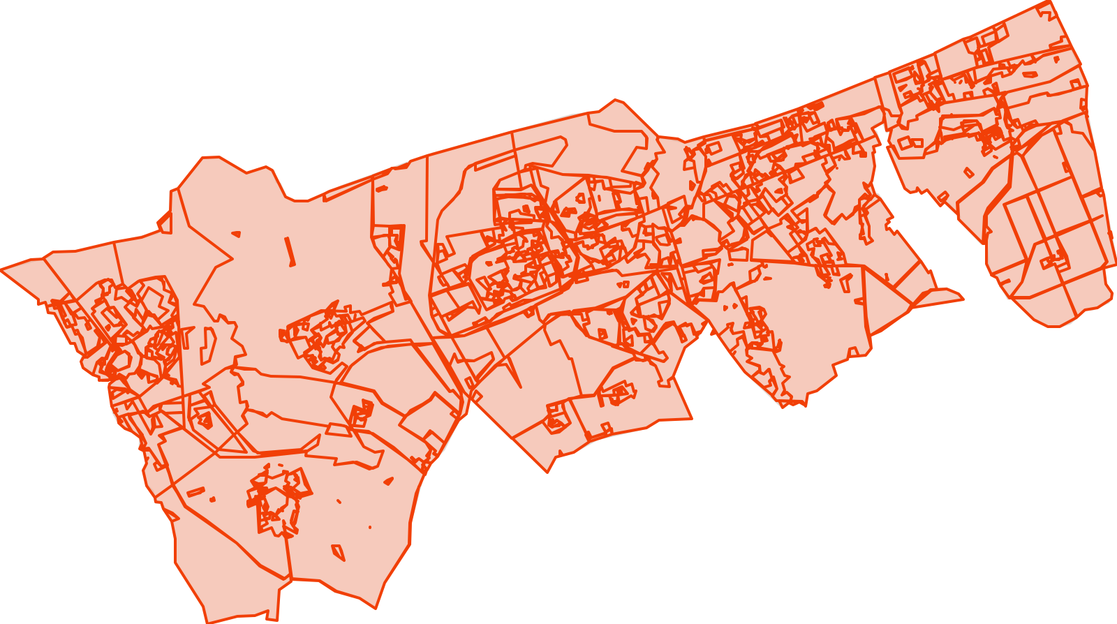
Zoning of the intercommunal land-use plan (PLUi) in force
844 features · Data changed on 13 Aug 2026 · synced on 9 Nov 2026
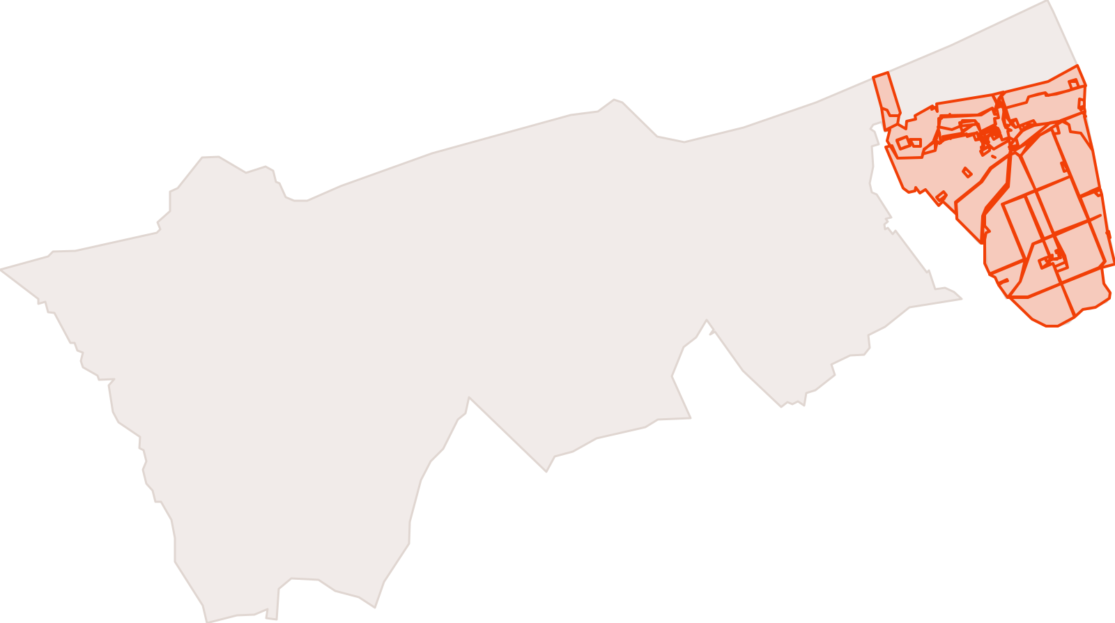
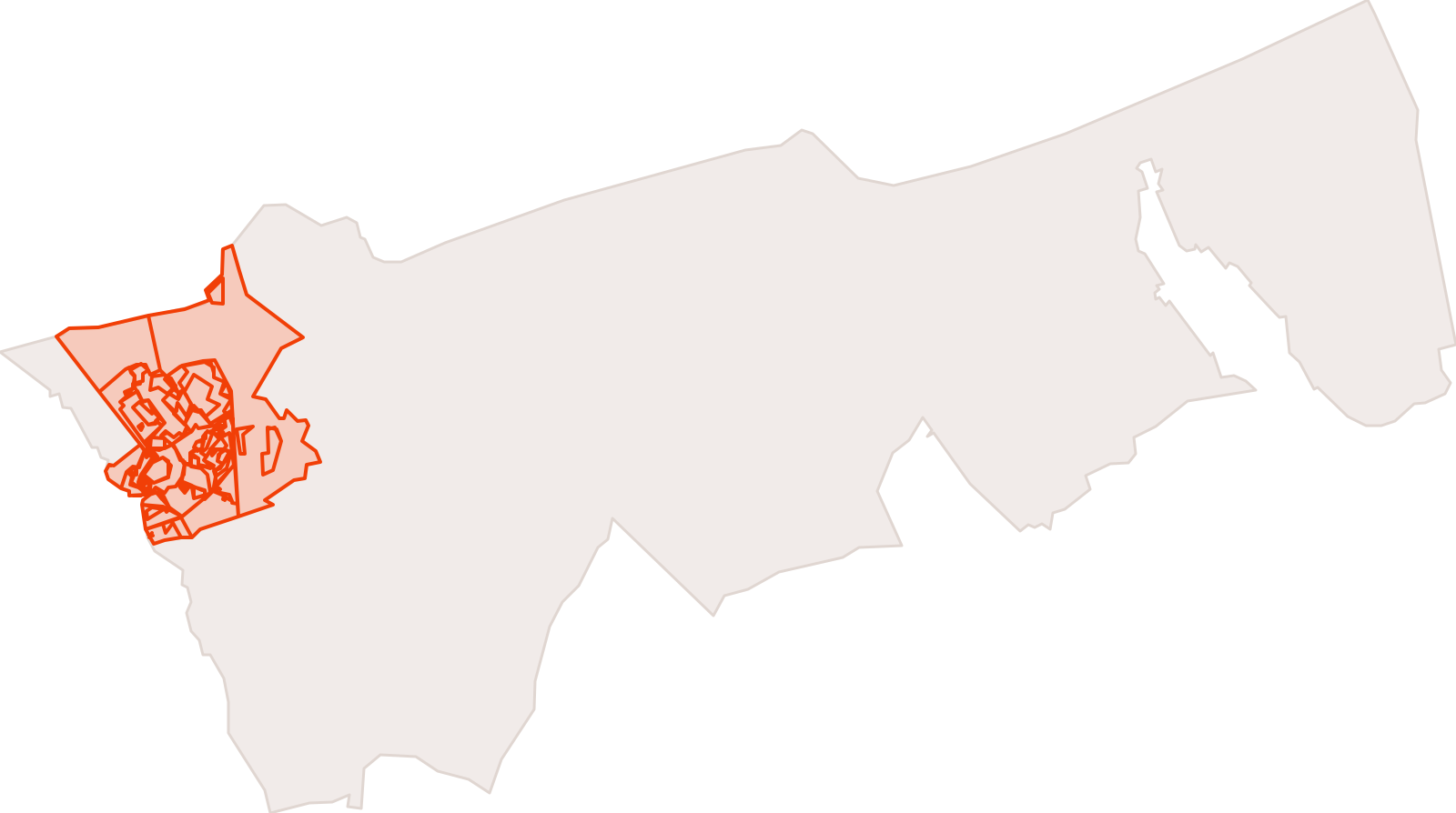
Zoning of the PLUi in force — Ghyvelde
80 features · Data changed on 13 Aug 2026 · synced on 9 Nov 2026
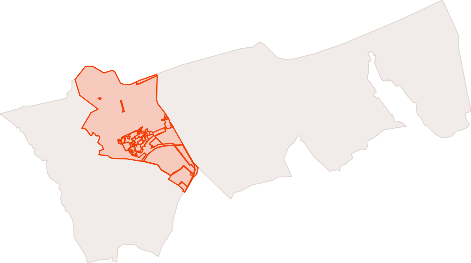
Zoning of the PLUi in force — Gravelines
80 features · Data changed on 13 Aug 2026 · synced on 9 Nov 2026
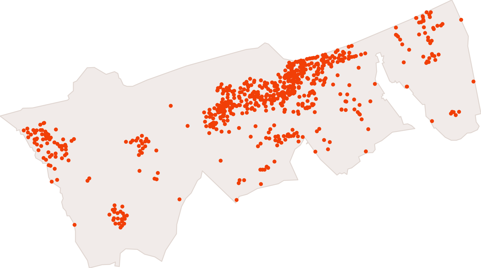
Zoning of the PLUi in force — Loon-Plage
42 features · Data changed on 13 Aug 2026 · synced on 9 Nov 2026
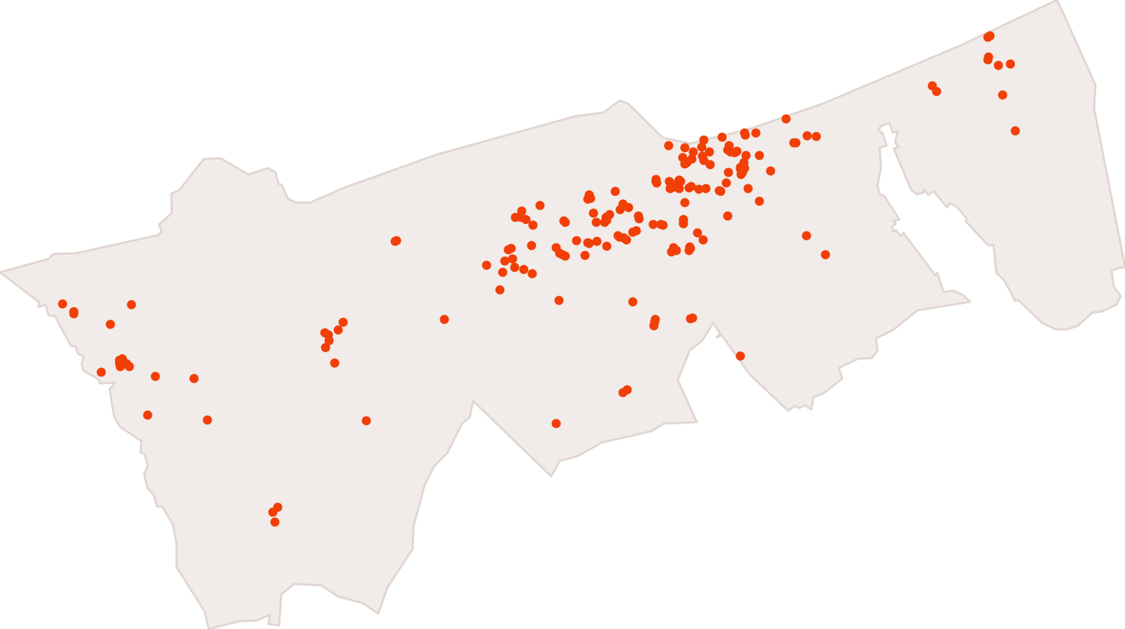
Points de collecte des déchets sur le territoire de la Communauté urbaine de Dunkerque
1,459 features · Data changed on 11 Mar 2026 · synced on 9 Nov 2026
Annuaire des services publics de la Communauté urbaine de Dunkerque
189 features · Data changed on 24 Sept 2025 · synced on 9 Nov 2026
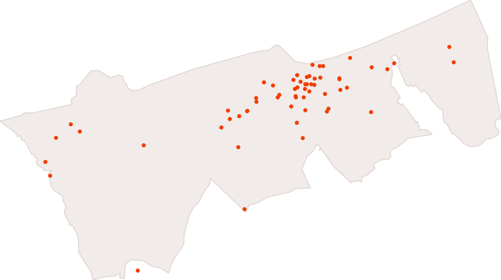
Acteurs de l'économie sociale et solidaire
69 features · Data changed on 14 Nov 2024 · synced on 9 Nov 2026
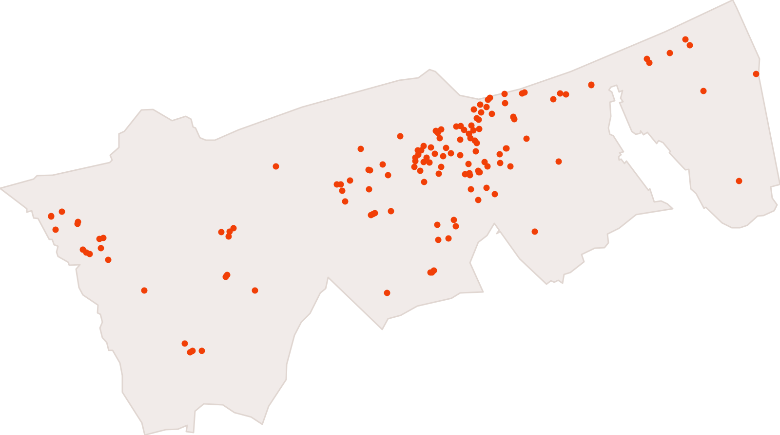
guichets distribution sacs
140 features · Data changed on 22 Sept 2023 · synced on 9 Nov 2026
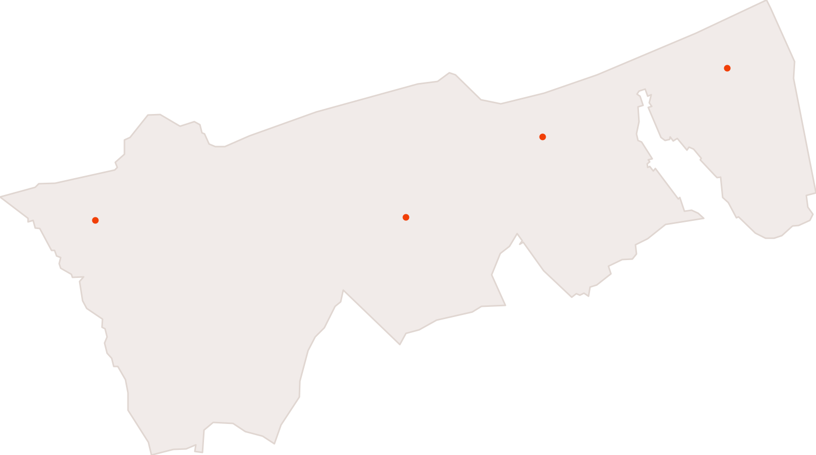
Points déchets verts de la Communauté urbaine de Dunkerque
4 features · Data changed on 5 Dec 2022 · synced on 9 Nov 2026
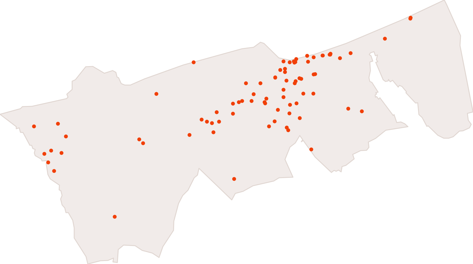
offre sport accessible - communauté urbaine de Dunkerque
91 features · Data changed on 1 Jul 2022 · synced on 9 Nov 2026
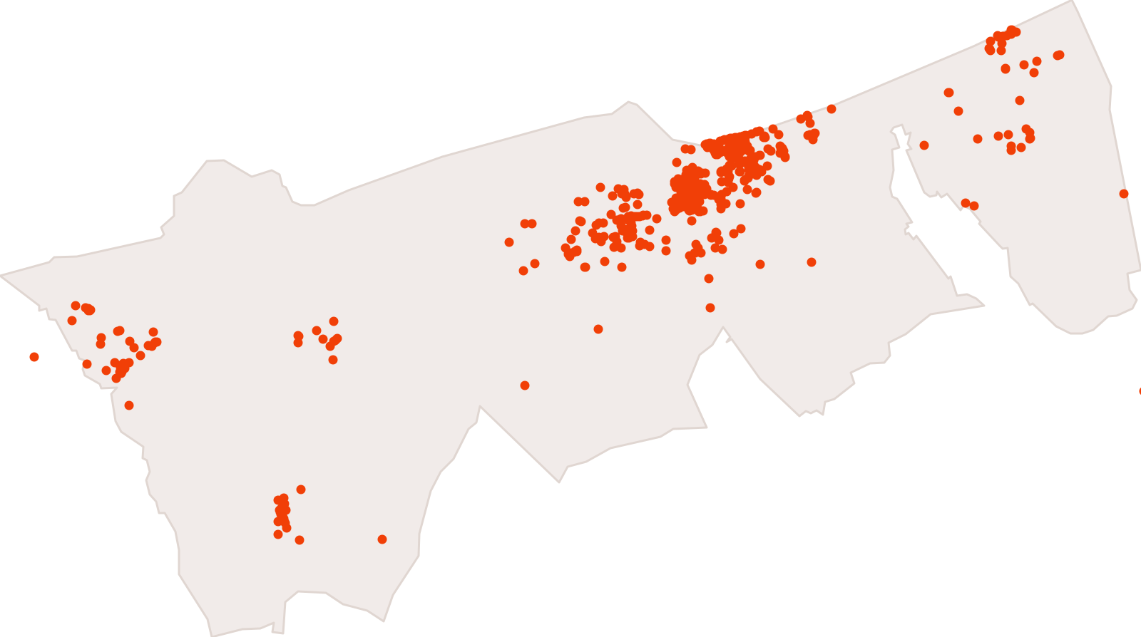
Commerces - Communauté urbaine de Dunkerque
1,131 features · Data changed on 2 Nov 2021 · synced on 9 Nov 2026
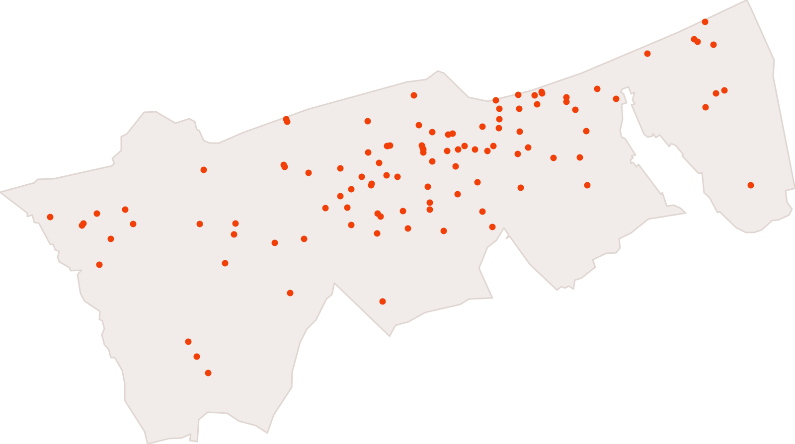
Antennes et sites de téléphonie mobile de la Communauté urbaine de Dunkerque
1,410 features · Data changed on 22 Jan 2020 · synced on 9 Nov 2026
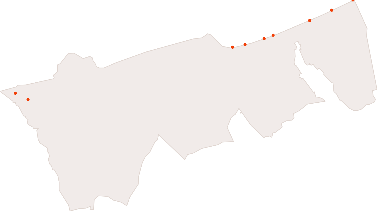
Bathing sites of the Communauté urbaine de Dunkerque
9 features · Data changed on 29 Jul 2019 · synced on 9 Nov 2026
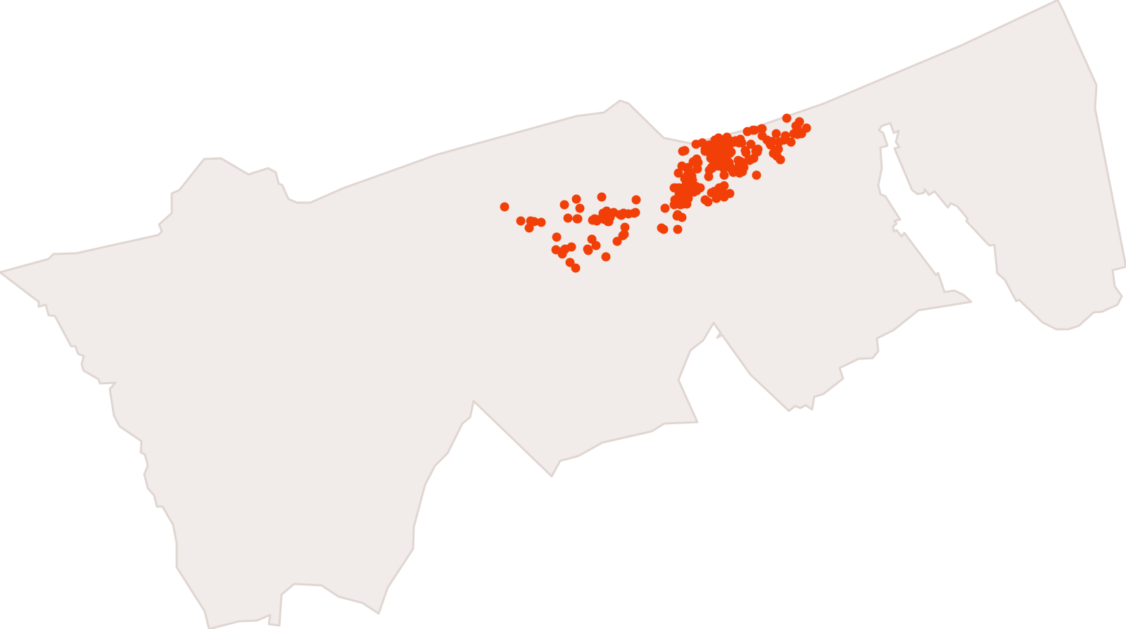
Entreprises et établissements de la Communauté urbaine de Dunkerque (base Sirene)
489 features · Data changed on 3 May 2019 · synced on 9 Nov 2026
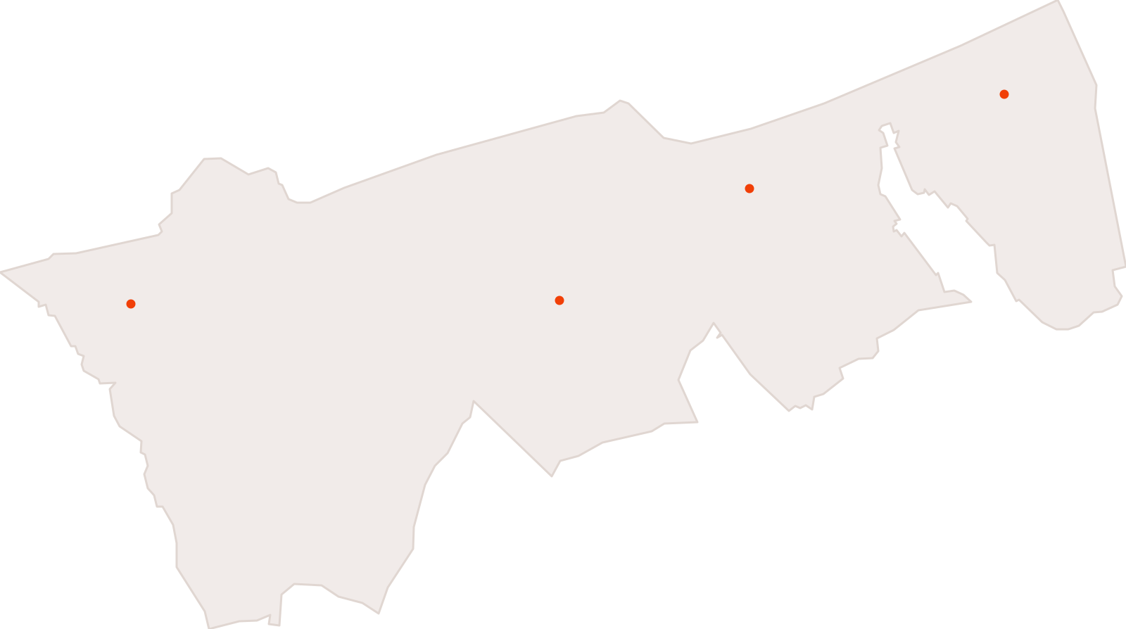
Déchetteries de la Communauté urbaine de Dunkerque
4 features · Data changed on 23 Apr 2019 · synced on 9 Nov 2026
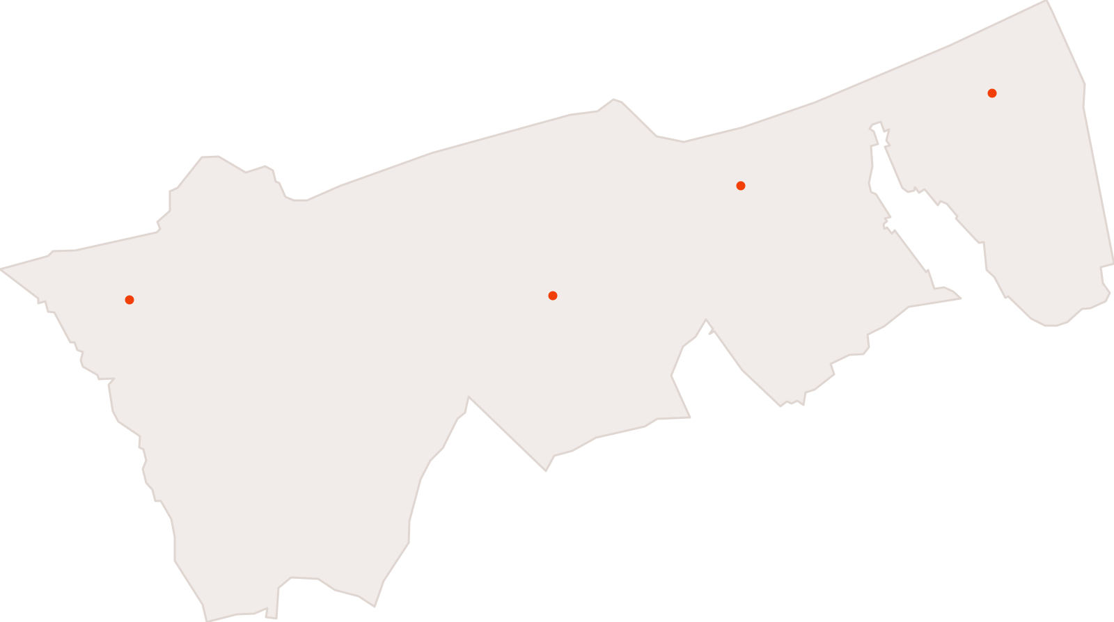
Bilan d'activité des déchèteries de la Communauté urbaine de Dunkerque
12 features · Data changed on 12 Dec 2018 · synced on 9 Nov 2026
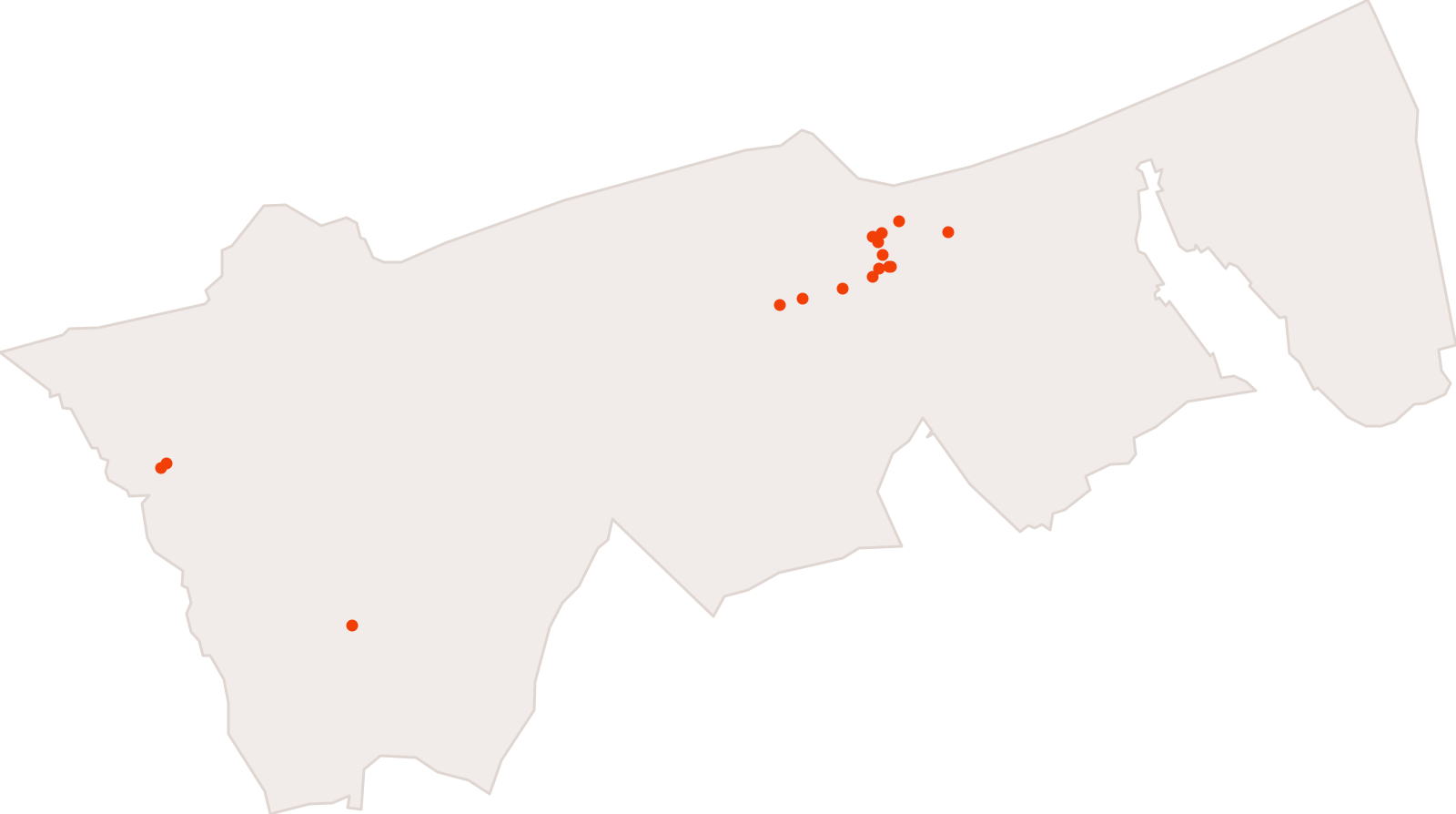
Structures proposant des services aux personnes âgées sur le périmètre de la Communauté urbaine de Dunkerque
18 features · Data changed on 28 Nov 2018 · synced on 9 Nov 2026
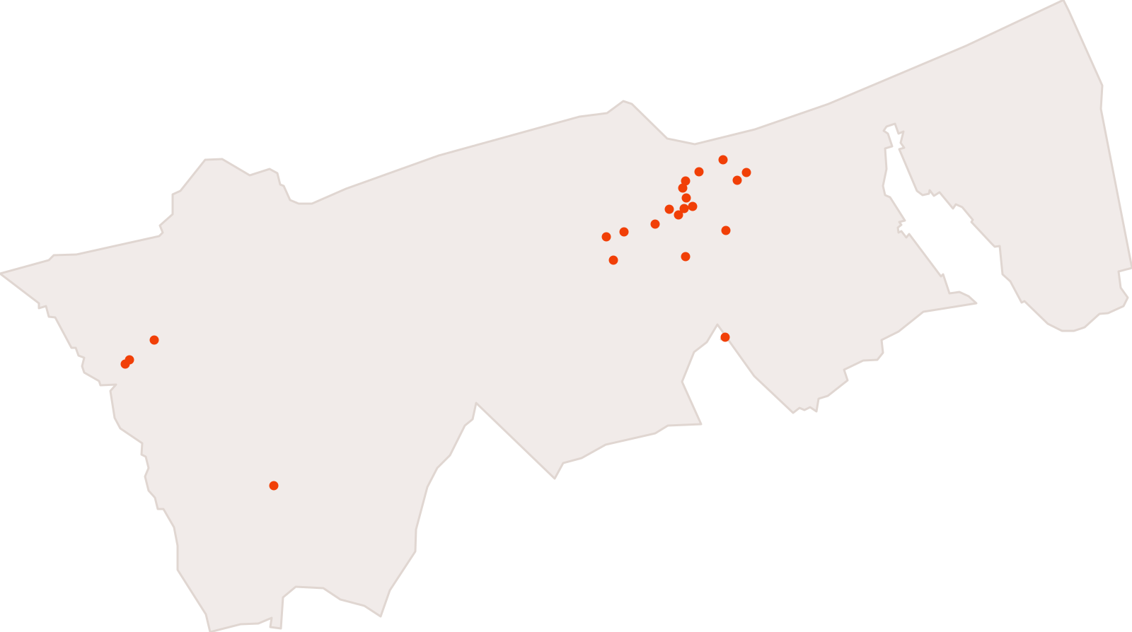
Structures proposant des services de la vie quotidienne sur le périmètre de la Communauté urbaine de Dunkerque
25 features · Data changed on 23 Nov 2018 · synced on 9 Nov 2026
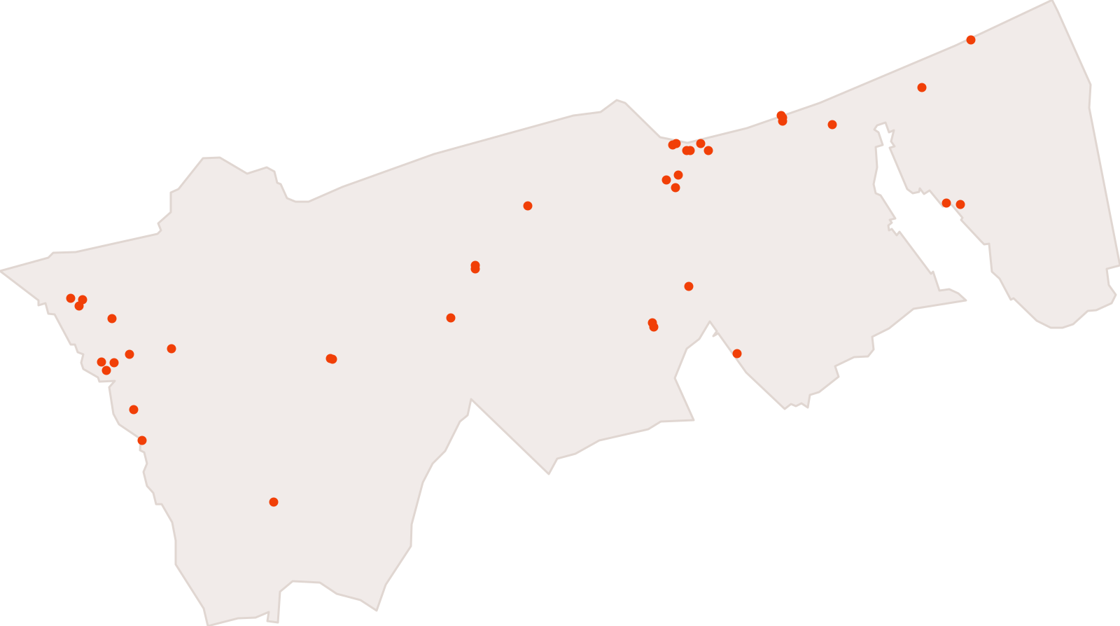
Leisure and tourist facilities and sites in the Communauté urbaine de Dunkerque
39 features · Data changed on 21 Nov 2018 · synced on 9 Nov 2026
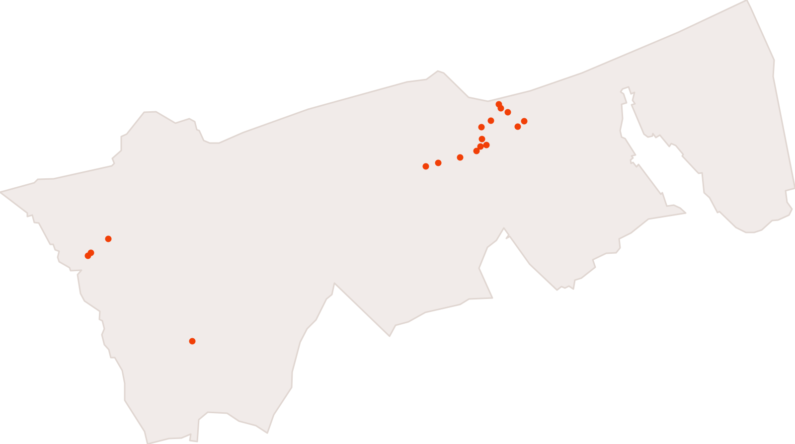
Structures proposant des services aux familles sur le périmètre de la Communauté urbaine de Dunkerque
22 features · Data changed on 8 Nov 2018 · synced on 9 Nov 2026